
CONNECTIVITY & TRANSPORT INFRASTRUCTURE
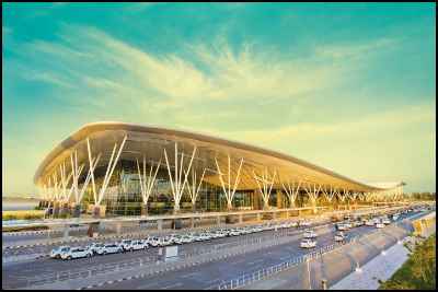
The City can be accessed by a ringed network transport system consisting wide three lane roads, dedicated perimeter bus lanes with bus stands located at strategic points with over-bridge/underpass pedestrian connections. It will have space to park over 40,000 cars.The Airport City would be connected to the proposed high-speed rail link and the road expressway from the central business district, M G Road.
As the new airport is 40km (25 miles) outside the city, a new high-speed rail link, is being planned to connect the city to the airport. The various road and rail connectivity means are as follows:
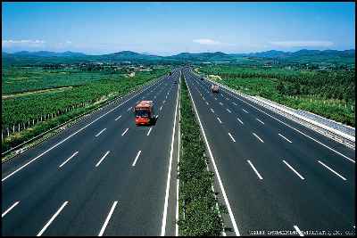
- NH-7 to BIA is 6-lane divided carriageway. NHAI is in the process of widening the NH-7 from existing 6-lanes to 8-lanes, which can sustain higher traffic due to airport expansion and expected real estate developments on either sides of the NH-7.
- Bangalore Metro Rail covering a length of around 33 kms spread over the North-South and East-West Corridors is under construction by Government of Karnataka at an estimated project cost of INR 64 billion (US$ 1.5 billion).
- In order to ensure fast and easy connectivity from Bangalore City Centre to the International Airport, Hi-Speed Airport Rail link of around 34 kms from CBD to the Airport is under development, which will enable passengers to reach the Airport around 25 minutes.
- Monorail is also planned for development to serve as feeder lines to Metro
- Commuter Rail system enabled to connect Devanahalli with Yeshvantpur via Yelahanka
- Bangalore-Mysore Infrastructure Corridor (BMIC) Project comprising of construction of a 6-lane tolled expressway between Bangalore and Mysore,development of 5 integrated townships, power plant, tolled ring roads around Bangalore to ensure fast and easy connectivity between the 2 cities and commercial development along the corridor is under implementation on PPP basis
- Government of Karnataka is developing the Peripheral ring Road (PRR) as 8-lane expressway along the periphery of Bangalore for a total road length of 109 km Bangalore Metropolitan Transport Corporation runs eleven bus routes from locations in the city to connect to the new airport. The airport can be reached through Hebbal via Bellary Road, through NH-Yelahanka people can also reach BIAL through Yelahanka via Vidyaranyapura where traffic is less congested.
- KSIIDC-IL&FS Project Development Company Limited (KIPDC) wishes to develop a Logistics Park near Bengaluru International Airport (BIA) on Public-Private sector.
More Developments Around our Projects
Contact | +(91)-9343229999 | 080-23530999